Building on Selati Wilderness Foundation’s (SWF) October blog post, we are thrilled to announce the completion of the second phase of our groundbreaking drone survey at the Lillie Cycad Reserve. Phase 1 focused on using RGB* technology to locate and map individual cycad plants with GPS coordinates. Phase 2 expands on this by employing LiDAR (Light Detection and Ranging)** technology to gather a more comprehensive dataset on vegetation structure and biomass.
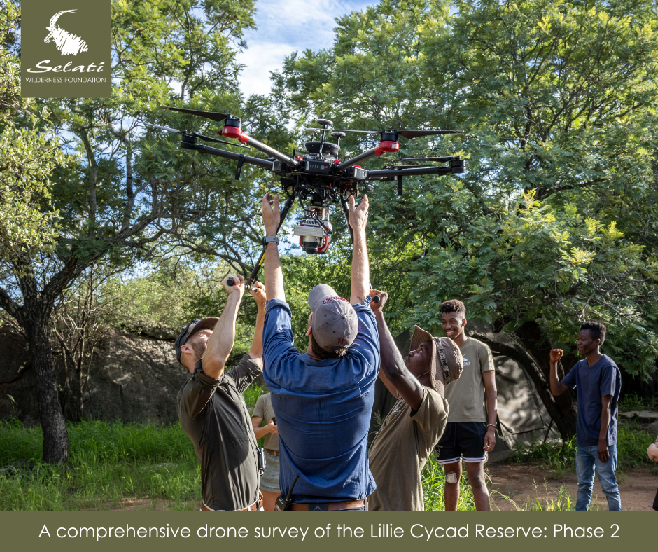
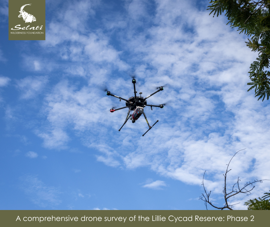
The survey utilised a DJI M600x drone equipped with a Phoenix u160-23 LiDAR sensor, expertly piloted by Tom Lautenbach. The drone followed carefully planned flight paths over the targeted area, capturing detailed topographical data, vegetation structure, and mapping features beneath the canopy, including culverts, erosion patterns, rocks, and game trails.
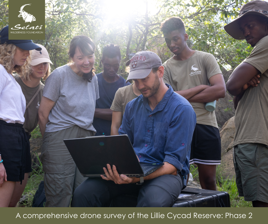
Additionally, the drone surveyed areas on Selati Game Reserve where Encephalartos dyerianus is absent to provide a comparative baseline. The collected data is being processed using advanced software tools to refine and analyse the findings. This process will produce a Canopy Height Model (CHM) and a Digital Terrain Model (DTM), which will measure canopy height, area, and roughness, as well as slope and gradients.
The refined 3D models will allow for specialised analysis, such as isolating individual cycads for further study. Structural measurements, including branch order and biomass, can also be extracted.
By comparing datasets from areas with and without Encephalartos dyerianus, we aim to gain insights into the ecological variables influencing the species’ distribution. This groundbreaking research could pave the way for more informed conservation strategies for this and other endangered cycads.
*RGB sensors capture images by combining red, green, and blue light at varying intensities to reproduce a wide spectrum of colours, providing valuable insights through clear, detailed aerial imagery.
**LiDAR (Light Detection and Ranging) is a remote sensing method used to examine the Earth’s surface in detail by measuring reflected light, allowing for high-precision 3D modeling and vegetation analysis.