The Selati Wilderness Foundation (SWF) has embarked on a project to conduct a comprehensive drone survey of the Lillie Cycad Reserve (on Selati Game Reserve), a site of unique ecological significance as it is the sole natural habitat of the critically endangered cycad species, Encephalartos dyerianus. Listed as Critically Endangered on the IUCN Red List, this species requires urgent conservation attention.
The study will employ cutting-edge RGB* and LiDAR** technologies to compile a complete dataset that will provide researchers with a deeper understanding of the intricate ecological dynamics that sustain Encephalartos dyerianus in its natural environment. By integrating high-resolution drone imagery and LiDAR data, the project aims to establish an accurate baseline population density, providing crucial insights into the species’ demographic trends and spatial distribution. This dataset, when compared with data from similar adjacent koppies, will facilitate the exploration of key environmental variables that influence the cycads’ distribution and abundance.
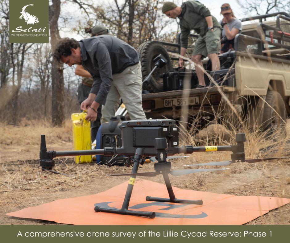
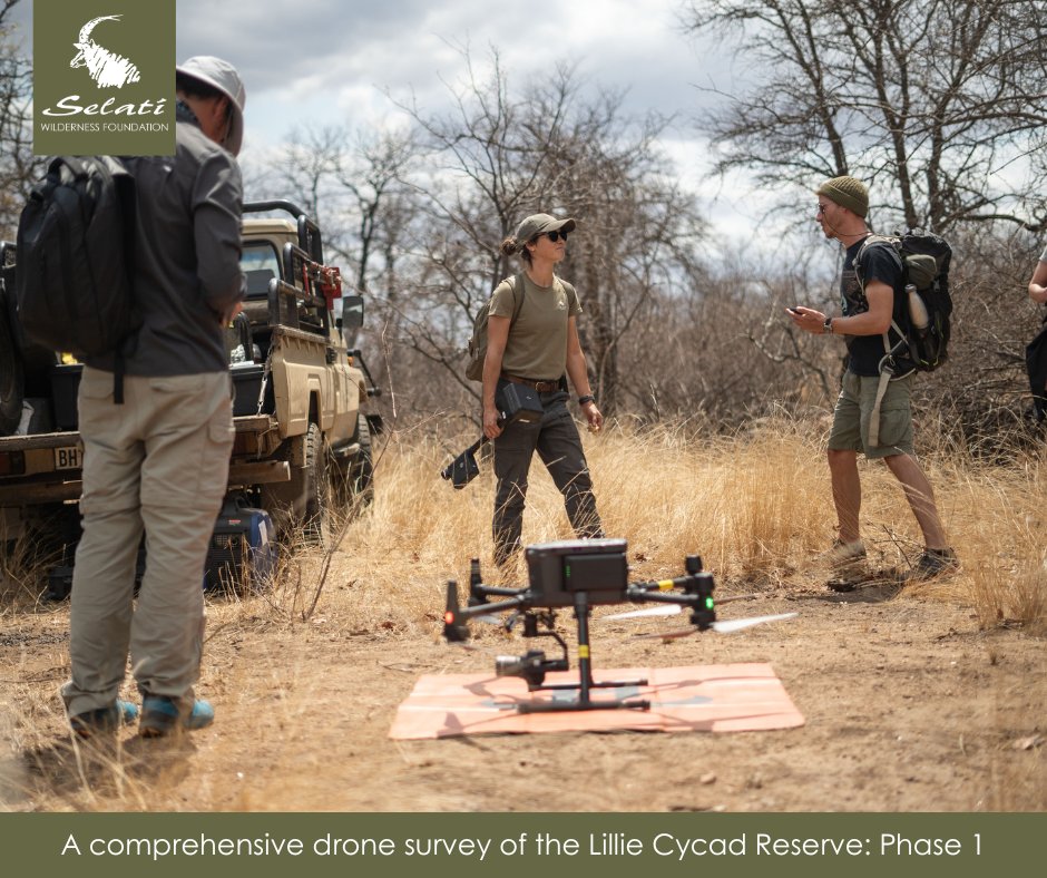
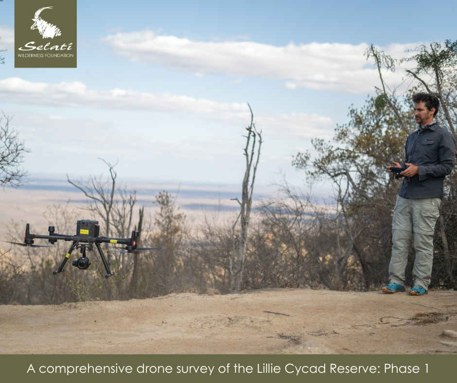
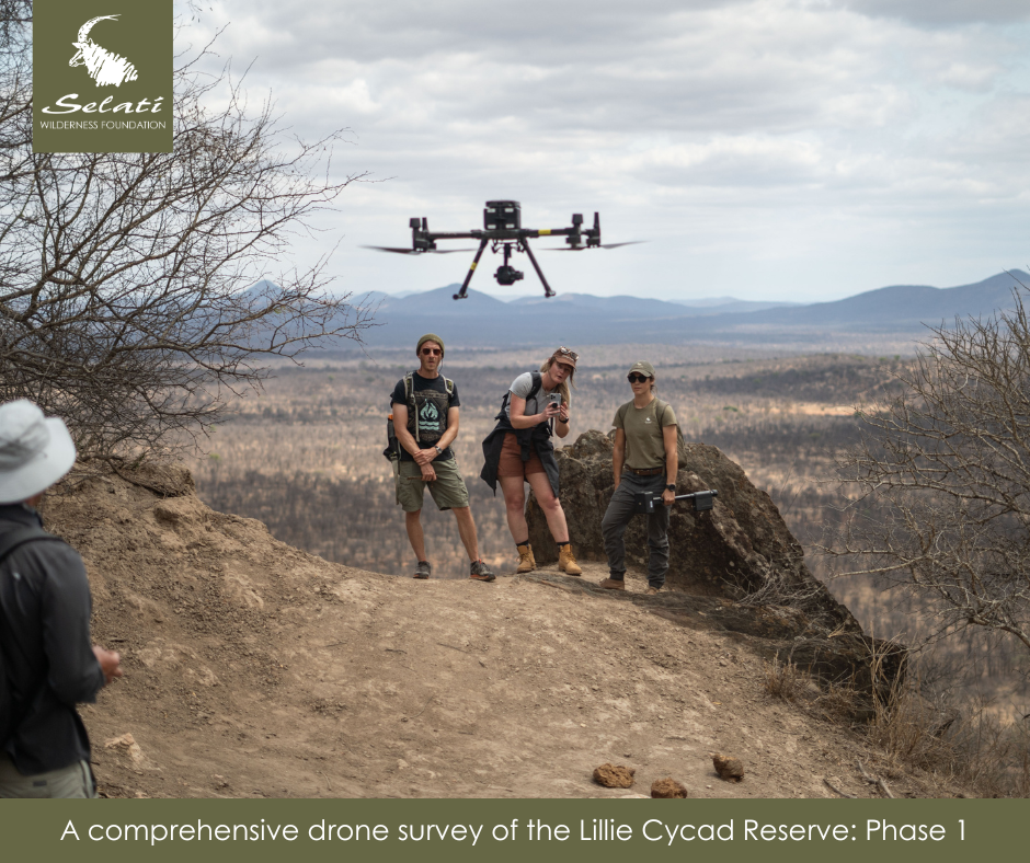
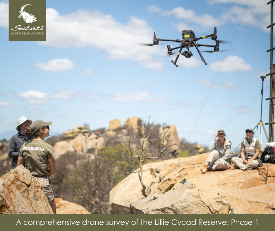
Phase 1 of the project was led by Warren Witte from Integrated Aerial Systems, who visited Selati last week to conduct the initial RGB mapping flights using a DJI M300 RTK drone equipped with a 48MP Zenmuse P1 camera. The Selati Research team joined Warren on the project. The aim of these flights was to obtain high-resolution mapping of the Lillie Cycad Reserve, conduct a visual census of the cycad population, and develop a model for automated cycad counting. Warren flew the drone over each section of the reserve twice. The first set of flights, conducted at a higher elevation, produced detailed terrain imagery and defined the flight paths for subsequent surveys. The second set of flights, flown at 110 meters above ground level, closely followed the topography to ensure more refined terrain mapping and consistent resolution across all generated maps.
The next phase involves a LiDAR survey with a larger drone. Using light-based sensing technology, the LiDAR survey will capture precise plant height data and assess the type of ground surface beneath the vegetation in greater detail. The aim is to uncover or provide further evidence and clues as to why Encephalartos dyerianus only occurs in this specific location and nowhere else in the world. The data collected could be key to unlocking the deeper ecological questions surrounding this rare species and its unique habitat requirements.
We would also like to express our gratitude for the scientific input of Professor John Donaldson and Professor Andrew Davies as well as funding support from Wild Cycad Conservancy.
*RGB sensors capture images by combining red, green, and blue light at varying intensities to reproduce a wide spectrum of colors, providing valuable insights through clear, detailed aerial imagery.
**LiDAR (Light Detection and Ranging) is a remote sensing method used to examine the Earth’s surface in detail by measuring reflected light, allowing for high-precision 3D modeling and vegetation analysis.